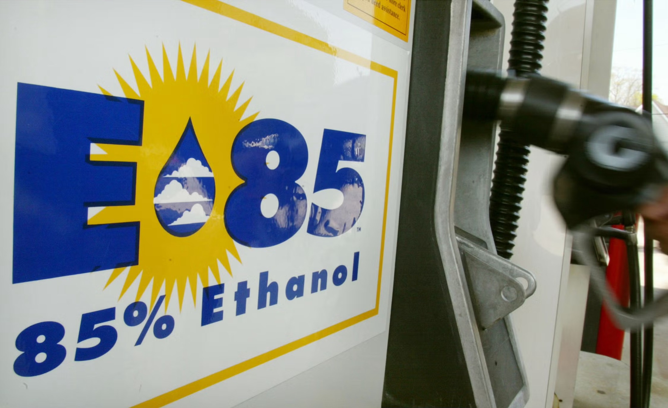
E85 Ethanol Stations in Hackensack, NJ
Addresses, map and directions
Find public E85 ethanol stations in Hackensack, NJ: station addresses, a map centered on Hackensack, and the closest alternatives nearby.
Hackensack E85 ethanol station map
The map opens on Hackensack with E85 ethanol selected. Search any address or ZIP to see the nearest stations, and tap a marker for directions. Station data is from the U.S. Department of Energy.
Showing public charging stations near Hackensack, NJ. Type any address, city or ZIP in the map to search somewhere else.
Map and station data: U.S. Department of Energy, Alternative Fuels Data Center Station Locator. Stations are listed by their owners and networks; check the network app before you drive.
E85 ethanol stations in Hackensack
The Department of Energy's station list shows no public E85 ethanol station inside Hackensack. The closest listed stations are Emerson (6.0 miles), Nutley (6.6 miles), Yonkers (9.4 miles), below.
E85 ethanol fuel stations located in Hackensack
No public E85 ethanol station is listed inside Hackensack right now. See the closest alternatives below.
Nearby E85 ethanol stations outside Hackensack
The closest listed stations in other cities, measured in a straight line from downtown Hackensack (not driving distance).
| Station | City | From downtown | |
|---|---|---|---|
| Valero 161 Kinderkamack Rd | Emerson | 6.0 miles north | Directions |
| Sunoco 577 Washington Ave | Nutley | 6.6 miles southwest | Directions |
| BP 594 Nepperhan Ave | Yonkers | 9.4 miles northeast | Directions |
| Conoco 2 W Sandford Blvd | Mt. Vernon | 11.2 miles east | Directions |
| Power Gas 205 Sanford St | East Orange | 13.3 miles southwest | Directions |
Before you go
- E85 is for flex-fuel vehicles only. Check your owner's manual or fuel door before using it. More in our E85 fuel guide.
- Every station listed is public. "Listed" does not mean the fuel or charger is available today, so check before a special trip.
- Regional average price (U.S. Department of Energy, April 2026, Central Atlantic region): $3.18 per gallon (gasoline: $3.92 per gallon). This is not a Hackensack pump price, so ask the station.
- Plan a trip around the stations listed above; the map shows every listed station in the country.
Hackensack E85 ethanol FAQs
Where can I find E85 ethanol stations in Hackensack?
None are listed inside Hackensack; the closest are in Emerson, Nutley, Yonkers.
How many E85 ethanol stations are in Hackensack?
0 public stations are listed with Hackensack as the city, as of October 21, 2026 (AFDC). Counts change as stations are added or removed.
What are the closest E85 ethanol stations outside Hackensack?
The nearest listed ones are Valero in Emerson (6.0 miles); Sunoco in Nutley (6.6 miles); BP in Yonkers (9.4 miles).
Can regular gasoline vehicles use E85?
No. E85 is only for flex-fuel vehicles. Check your owner's manual or the fuel door.
How can I check whether a station is still active?
Call the station (numbers are on each card where listed) or check the network app, and ask. If a listing is wrong, you can report it to the Department of Energy using the link at the bottom of the page.
Other fuel stations in Hackensack
- EV charging stations in Hackensack
- Propane autogas stations in Hackensack
- Biodiesel stations in Hackensack
- Renewable diesel stations in Hackensack
- CNG stations in Hackensack
- Hackensack energy guide
Station data and corrections
Source: U.S. Department of Energy, Alternative Fuels Data Center station list, public and open E85 ethanol stations, retrieved October 21, 2026. Distances are straight-line from downtown Hackensack, not driving distances. Hours and availability change. Something wrong or missing? Submit a new station or report a change to the Department of Energy.